Middlesbrough lies on a mix of glacial till over Mercia Mudstone and alluvial deposits along the River Tees. These materials are prone to surface erosion when exposed by construction or vegetation removal. Soil erosion analysis here must account for the varying clay content and seasonal rainfall patterns. The region receives about 650 mm of rain annually, with intense winter storms accelerating runoff. Before any earthworks, a detailed erosion assessment helps predict sediment loss and guide drainage design. Complement this with infiltration testing to understand water movement through the upper soil layers.
Glacial till in Middlesbrough can lose up to 10 tonnes of soil per hectare annually if left unprotected during winter rains.
Technical details of the service in Middlesbrough
Critical ground factors in Middlesbrough
Risks differ markedly between the Tees-side industrial areas and the residential suburbs like Acklam. Near the river, alluvial silts and sands erode quickly under high flow events, threatening foundations and buried services. On the till-covered hills, surface runoff concentrates along access roads, creating deep gullies. Ignoring these differences leads to sediment runoff into local drains, fines from the Environment Agency, and structural damage to pavements. A site-specific soil erosion analysis addresses both scenarios with appropriate sediment control measures.
Our services
Our soil erosion analysis service for Middlesbrough covers four key areas to protect your project from regulatory and physical risk.
Erosion Risk Assessment
Desk study and field walkover to identify erosion-prone zones using RUSLE and local rainfall records.
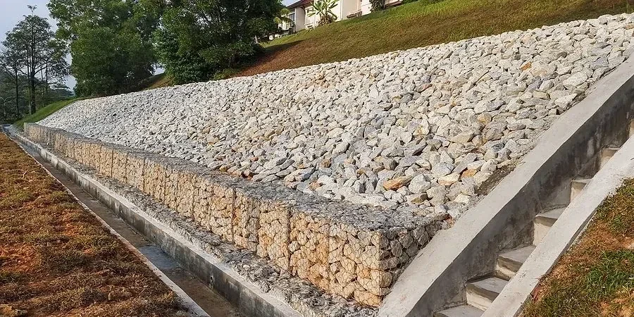
Sediment Control Design
Specification of silt fences, sediment basins, and check dams tailored to Middlesbrough soil types.
Erosion Monitoring
Installation of erosion pins and sediment traps to measure actual loss during construction phases.
Revegetation Planning
Selection of native grass and shrub mixes to stabilise slopes post-construction, with maintenance schedules.
Q&A
How much does a soil erosion analysis cost in Middlesbrough?
The cost typically ranges from £750 to £1,870 depending on site area, number of samples, and reporting detail. A small residential plot may fall at the lower end, while a large development with multiple slopes will be higher.
What standards govern soil erosion analysis in the UK?
The main references are BS 5930:2015 for ground investigation and Eurocode 7 for geotechnical design. The Defra Construction Code of Practice also applies for sediment control on active sites.
How long does a typical assessment take?
A desk-based assessment can be completed in 3–5 working days. If field sampling and monitoring are required, allow 2–4 weeks for installation and initial data collection.
Do I need an erosion analysis for a small extension in Middlesbrough?
It is advisable if your site has a slope greater than 10 degrees or is near a watercourse. Many local planning authorities now request it for any development over 0.5 hectares.
What happens if erosion is found during construction?
We issue a remedial report with immediate sediment control measures, such as temporary drainage diversions or erosion blankets. Long-term solutions like regrading or revegetation are then designed to prevent recurrence.